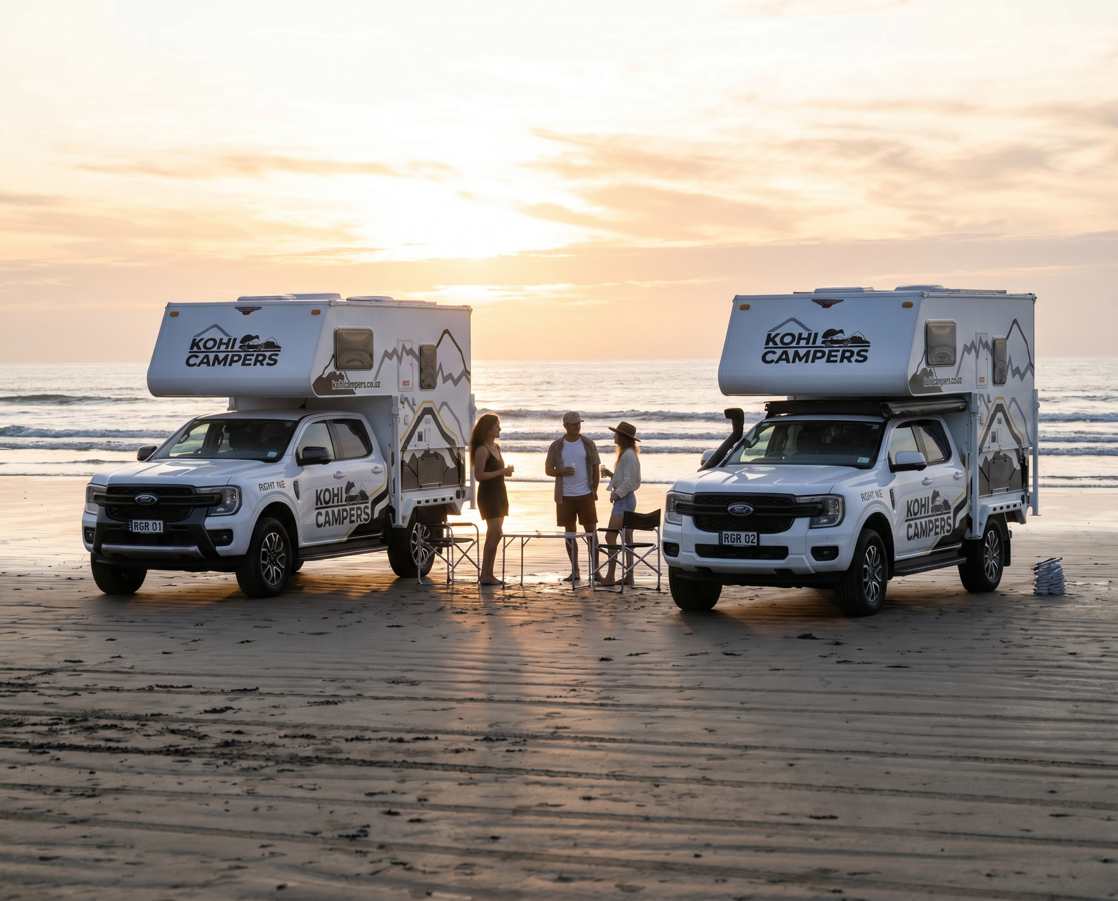
The West Coast stretches 600 kilometres down the western edge of the South Island, squeezed between the Tasman Sea and the Southern Alps. It is one of the least populated regions in New Zealand, one of the wettest, and without question one of the most dramatic. The roads are long, the towns are small, and the landscapes are the kind that make you pull over and just stand there for a while. A self-contained 4WD setup is ideal for this part of the country. Freedom camping options are excellent, the terrain rewards 4WD capability, and the distances mean you want to stop wherever the view demands it rather than racing to the next campground booking.
Getting there
The West Coast is most commonly accessed from three directions. From Christchurch via Arthur’s Pass on SH73, a spectacular mountain crossing that takes around two and a half hours to reach Greymouth. From Nelson via the Buller Gorge on SH6, taking around three hours to reach Westport. Or from Queenstown and Wanaka via the Haast Pass on SH6, a longer but extraordinary drive through the Mount Aspiring National Park that reaches Haast in around two hours from Wanaka.
The Arthur’s Pass route from Christchurch is the most popular entry point and one of the great mountain drives in New Zealand. The viaducts, tunnels, and alpine scenery make the crossing itself worth the trip. Stop at Arthur’s Pass village for coffee before dropping down the western side.
Westport and the northern coast
Westport sits at the northern end of the West Coast proper and is a good base for exploring the Buller Gorge and the wild coastline to the north. The town itself is small and functional but the surrounding area is excellent.
Cape Foulwind: a short drive west of Westport, the Cape Foulwind Walkway leads to a New Zealand fur seal colony. The seals haul out on the rocks below the track in significant numbers and are completely indifferent to human presence. The coastal scenery along the walk is outstanding.
Buller Gorge: the drive east from Westport through the Buller Gorge on SH6 is one of the best river gorge drives in the country. The river runs jade green through towering limestone bluffs. The historic suspension bridge at the Buller Gorge Swingbridge attraction is worth a stop.
Granity and Ngakawau: small coal mining towns north of Westport with black sand beaches and a raw industrial history that feels uniquely West Coast. The Charming Creek Walkway nearby follows a historic coal tramway into the bush.
Punakaiki and the Pancake Rocks
Punakaiki is roughly halfway between Westport and Greymouth and is home to the Pancake Rocks and Blowholes, one of the most visited natural attractions on the West Coast. The layered limestone formations look exactly as the name suggests and at high tide the blowholes push dramatic plumes of spray into the air.
Visit at high tide for the blowholes and go early or late in the day to avoid the tour groups that converge around midday. The walk from the car park takes around 20 minutes.
The stretch of SH6 between Westport and Greymouth through the Paparoa National Park is one of the most scenic coastal drives in New Zealand. Rainforest comes right down to the road on one side and the Tasman Sea stretches away on the other. Take your time on this section.
Greymouth and Hokitika
Greymouth is the largest town on the West Coast and the main service centre for the region. Good supermarkets, fuel, and a handful of decent cafes. The town sits at the mouth of the Grey River where it meets the Tasman and the bar crossing is notoriously rough in a southwesterly swell.
Hokitika, 40 kilometres south of Greymouth, is the cultural centre of the West Coast. The town has an excellent greenstone carving tradition and the main street has a concentration of galleries and craft shops that reward an afternoon of browsing. Hokitika Gorge, a short drive inland, has some of the most intensely turquoise water you will see anywhere in New Zealand.
Franz Josef and Fox Glaciers
The twin glaciers of Franz Josef and Fox sit around 25 kilometres apart and are among the most accessible glaciers in the world, descending from the Southern Alps through temperate rainforest almost to sea level. Both have retreated significantly in recent decades but remain extraordinary landscapes.
Franz Josef: the glacier valley walk leads to the current terminal face. The walk from the car park takes around an hour return and the scale of the valley carved by the glacier over thousands of years is impressive regardless of current ice conditions. Helicopter flights over the ice are available through local operators and on a clear day are worth every dollar.
Fox Glacier: slightly less visited than Franz Josef, Fox has a similar valley walk and helicopter operation. The nearby Lake Matheson, a short drive from the Fox Glacier village, offers the famous reflection of Aoraki Mount Cook and Mount Tasman on a still morning. Go at sunrise for the best light and the calmest water.
Haast and the south
South of Fox Glacier the road runs through increasingly remote country toward Haast. The landscape shifts from rainforest to open river flats and the mountains push closer to the coast. This section of SH6 between Fox Glacier and Haast is one of the least driven and most rewarding stretches of road on the West Coast.
Knights Point: a lookout with sweeping views along the coast. The sign at the lookout marks the point where construction crews building the road from the north and south finally met in 1965.
Ship Creek: two short walks starting from the same car park, one through kahikatea swamp forest and one to a wild black sand beach. Both take under 30 minutes and are worth the stop.
Haast Pass: continuing inland from Haast, the road climbs through the Mount Aspiring National Park via the Haast Pass to Wanaka and Queenstown. The waterfalls along this section are numerous and the Thunder Creek Falls, dropping 28 metres from a hanging valley directly beside the road, is one of the most dramatic roadside stops in the South Island.
Where to camp
The West Coast has outstanding freedom camping for self-contained vehicles, with numerous DOC sites and council freedom camping spots along the entire length of the coast. Check CamperMate before each night and always carry a backup option as some sites fill quickly in summer.
- Cape Foulwind: right on the headland, exposed and dramatic, one of the best coastal camps on the northern West Coast
- Punakaiki: DOC campsite adjacent to the Pancake Rocks, fall asleep to the sound of the Tasman
- Hokitika Gorge area: freedom camping spots in the vicinity of the gorge, turquoise water on your doorstep
- Lake Lanthe: beautiful bush-fringed lake south of Hokitika, excellent freedom camping on the foreshore
- Okarito: a tiny lagoon settlement off the main road between Hokitika and Franz Josef, one of the most peaceful freedom camping spots on the coast
- Lake Matheson: camp near the famous reflection lake, walk to sunrise views before anyone else arrives
- Ship Creek: DOC campsite right on the wild beach, remote and outstanding
Practical notes
- The West Coast is one of the wettest regions in New Zealand. Pack full wet weather gear and expect rain at any time of year. The landscape is extraordinary in the rain as well as the sun
- Sandflies on the West Coast are legendary. They are worse than anywhere else in the country. Strong insect repellent is not optional and long sleeves and pants in the evening will save you considerable discomfort
- Fuel up at every opportunity. The distances between towns are significant and there are stretches between Franz Josef and Haast where services are limited
- The road between Fox Glacier and Haast is sealed but narrow and winding in places. Allow more time than the distance suggests
- Mobile coverage is extremely patchy south of Hokitika and non-existent in many areas between Franz Josef and Haast. Download offline maps before leaving Hokitika
- The Ranger handles all the roads on the West Coast comfortably including the unsealed access roads to some of the more remote camping spots
- Greymouth and Hokitika are your best supermarket stops. Stock up before heading south of Fox Glacier
Suggested itinerary — 6 nights
| Day | Route |
|---|---|
| Day 1 | Christchurch pickup. Drive Arthur’s Pass to Greymouth. Stock up on supplies. Camp Punakaiki. |
| Day 2 | Pancake Rocks at sunrise. Drive north to Cape Foulwind and seal colony. Camp Cape Foulwind. |
| Day 3 | Buller Gorge morning. Drive south through Greymouth to Hokitika. Hokitika Gorge afternoon. Camp Lake Lanthe. |
| Day 4 | Okarito lagoon morning. Drive to Franz Josef. Glacier valley walk afternoon. Camp Franz Josef area. |
| Day 5 | Helicopter flight over Franz Josef or Fox Glacier if weather allows. Lake Matheson sunrise walk. Camp Ship Creek. |
| Day 6 | Knights Point and Ship Creek walks morning. Drive to Haast. Haast Pass afternoon into Wanaka. |
| Day 7 | Wanaka morning. Drive back to Christchurch via Cromwell and Lindis Pass or continue to Queenstown for dropoff. |