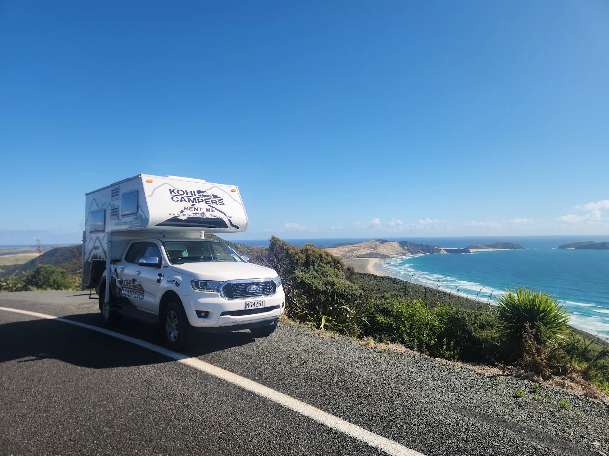
New Zealand’s Far North is one of the country’s most iconic road trip destinations, and with a self-contained setup you can experience it in a way that most visitors simply can’t. No booking campgrounds weeks in advance, no fighting for powered sites, no packing up every morning. Just drive, park, and wake up somewhere remarkable.
The Bay of Islands is around 3.5 hours north of Auckland — close enough for a long weekend, rewarding enough to justify a week or more.
Getting there
Head north on SH1 through Whangarei and follow signs to Paihia or Kerikeri. The drive itself is worth slowing down for — rolling green hills, native bush, and some of the best roadside fruit stalls in the country. Stop at Whangarei Falls if you’re making a day of it.
Where to camp
With NZS 5465 self-containment certification, the Kohi Campers fleet opens up freedom camping options across the region. Key spots to look up on CamperMate:
- Opua — waterfront camping with views across the bay
- Bland Bay — quiet, remote beach on the eastern side, worth the detour
- Matauri Bay — stunning north-facing beach, one of the best sunsets in Northland
- Tapeka Point — just outside Russell, right on the water
Always check current freedom camping rules with the Far North District Council as conditions can change seasonally.
What to do
The Bay of Islands rewards those who get off the main tourist loop. Beyond the obvious — dolphin watching cruises, the Hole in the Rock, historic Russell — here’s what’s worth adding to your itinerary:
Waitangi Treaty Grounds — New Zealand’s most significant historic site. Allow at least two hours. The cultural performance is genuinely excellent, not a tourist tick-box.
Cape Brett Track — a challenging full-day or overnight hike to the lighthouse at the tip of the peninsula. Outstanding views over the bay. Book the DOC hut in advance.
Kerikeri — the Bay of Islands’ food and craft hub. Excellent coffee, local olive oil, and the Stone Store, New Zealand’s oldest surviving stone building. Good morning stop before heading further north.
Russell — New Zealand’s first European settlement, now a quiet little town with excellent fish and chips on the waterfront. Take the ferry from Paihia rather than driving around.
Cape Reinga day trip — if you’re up this far, it’s worth pushing all the way to the top. The sealed road runs all the way from Kaitaia to Cape Reinga, where the Tasman Sea meets the Pacific Ocean. Note that Ninety Mile Beach itself is not covered by insurance for driving as it falls outside our legal road terms. Stick to the sealed route in and out.
Best time to visit
January and February are peak summer — warm, busy, and beautiful. March and April are arguably better: the crowds thin out, the water is still warm, and freedom camping spots that were packed in January open right up. Northland is mild year-round so a winter visit is entirely viable if you want the place almost to yourself.
Practical notes
- Fuel up in Whangarei or Kerikeri — stations get sparse further north
- The eastern bays (Bland Bay, Matauri Bay) involve unsealed roads — the Ranger handles these easily
- Mobile coverage is patchy north of Kerikeri — download offline maps before you go
- Water refill points are available at most townships — CamperMate marks them
Suggested itinerary — 4 nights
| Day | Route |
|---|---|
| Day 1 | Auckland to Paihia via Whangarei Falls. Camp Opua. |
| Day 2 | Russell ferry, Waitangi Treaty Grounds, afternoon at Tapeka Point. |
| Day 3 | Drive to Matauri Bay via Kerikeri. Sunset camp on the beach. |
| Day 4 | North to Cape Reinga, Ninety Mile Beach return. Camp near Ahipara. |
| Day 5 | Slow drive back to Auckland via Hokianga Harbour and Waipoua kauri forest. |
Ready to explore the Bay of Islands? Check availability →